Antarctic sea ice drops to third-lowest winter maximum on record
Satellite measurements show Antarctic ice peaked at 17.59 million square kilometres on 14 September, trailing long-term averages by nearly a million square kilometres.
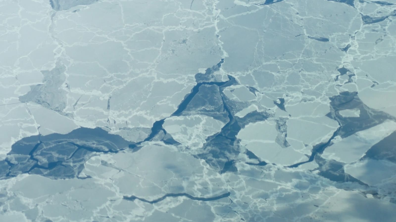
Antarctic sea ice reached its annual winter maximum on 14 September 2026, covering an estimated 17.59 million square kilometres (6.79 million square miles). Satellite observations analysed by NASA and the US National Snow and Ice Data Centre confirm it as the third-lowest winter peak since continuous space-based records began in late 1978.
The measurement leaves the ice pack roughly one million square kilometres below its multi-decade average. More significantly, it means the four smallest winter maximums ever observed have all taken place over the past four years.
The core problem
For decades, Antarctica appeared somewhat insulated from the rapid ice loss seen in the Arctic. Between 1979 and 2014, Antarctic sea ice extent grew by roughly 1 per cent each decade, reaching record winter highs from 2012 to 2014. That dynamic broke down abruptly in 2015.
Since 2016, ice coverage around the continent has plummeted. Both the absolute winter maximum and summer minimum fell to record lows in 2023, and subsequent seasons have failed to mount a sustained recovery.
| Year | Antarctic Sea Ice Milestone | Notable Measurement |
|---|---|---|
| 1979–2014 | Steady expansion | Grew ~1% per decade |
| 2012–2014 | Satellite peaks | Three consecutive winter record highs |
| 2016 | Abrupt reversal | Onset of persistent decline below average |
| 2023 | All-time record lows | Lowest minimum and lowest maximum on record |
| 2026 | Historic contraction | 17.59 million sq km (third-lowest maximum) |
Because Antarctica is a landmass encircled by open ocean, sea ice can expand outward until it meets warmer northern waters. When surface temperatures climb, that outer perimeter deteriorates rapidly. Dr Ariaan Purich, a Southern Ocean specialist at Monash University, noted that repeated low winters suggest the ice is behaving differently because the surrounding climate has warmed, describing it as an immediate rather than future crisis.
Institutional responses
Tracking these vast polar shifts requires continuous, multi-nation orbital monitoring. Researchers classify any ocean zone with at least 15 per cent ice concentration as ice-covered, using passive microwave sensors that detect the distinct energy emitted by frozen water versus open ocean.
Space agencies have steadily upgraded this surveillance architecture to prevent data gaps:
- 1978–1987: NASA Nimbus-7 established the baseline microwave record.
- 1987 onwards: US Defence Meteorological Satellite Program sensors maintained coverage.
- 2002–2011: NASA Aqua spacecraft provided detailed high-resolution profiling.
- 2025 onwards: Japan Aerospace Exploration Agency's GCOM-W satellite took over operational feeds to sustain long-term tracking.
Alongside orbital monitoring, international climate bodies rely on these datasets to calibrate global circulation models, tracking ocean heat uptake and feeding projections into broader emissions-reduction frameworks.
Evaluating efficacy
While remote sensing systems have performed with high technical precision—tracking variations through heavy cloud cover and polar nights—monitoring alone cannot halt ocean warming. Dr Walt Meier, senior scientist at the National Snow and Ice Data Centre, cautioned that short-term volatility makes individual peaks difficult to pinpoint immediately, but the broader four-year floor points to an altered baseline.
The ecological consequences are already mounting. Diminished winter ice reduces reflective albedo, exposing dark sea water to direct solar heating and threatening key feeding grounds for Southern Ocean marine life. Until global emissions targets translate into cooler ocean temperatures, institutional observation will document a shrinking polar shield rather than its recovery.
Key numbers
| What | Figure | Source |
|---|---|---|
| 2026 Winter Maximum Extent | 17.59 million sq km | NASA and National Snow and Ice Data Centre |
| Deficit from Long-term Average | Approximately 1 million sq km | National Snow and Ice Data Centre |
| Historical Decadal Growth (1979–2014) | Around 1% per decade | NASA and National Snow and Ice Data Centre |
| Peak Date | 14 September 2026 | NASA and National Snow and Ice Data Centre |
In this story
| Name | Role in the story |
|---|---|
| Antarctica | Continent where record-low winter sea ice extent was recorded. |
| National Snow and Ice Data Centre | Analysed satellite observations and reported the winter maximum extent. |
| NASA | Jointly tracked and confirmed the Antarctic ice measurements. |