Forest fires fall 11% annually in Western Ghats as Eastern Ghats see rise, study finds
Satellite data reveals how proactive intervention reduced blazes in Karnataka reserves, while dry spells fuelled fires further east.
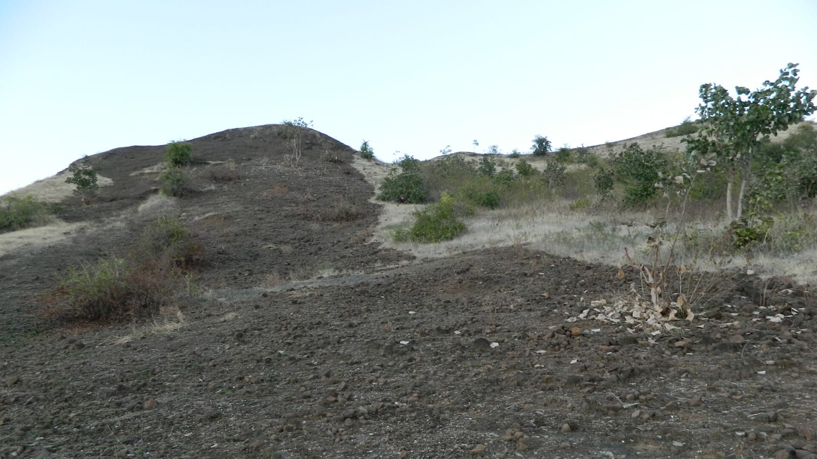
Wildfire activity across the Western Ghats dropped by roughly 11% each year over two decades, driven down by sustained intervention and fire suppression by forest authorities, according to a long-term satellite study by the Centre for Wildlife Studies.
The findings offer clear evidence of how targeted forest management can control blazes in vital conservation belts. Over the same 20-year period, however, wildfire activity rose by approximately 9% annually in the drier Eastern Ghats and recorded a modest increase across Central India, largely pushed higher by severe droughts and rural resource collection.
Published in the journal Ecosphere, the research tracked fire trends between 2002 and 2022 across roughly 20,000 square kilometres of protected forest spanning 13 wildlife reserves. Scientists analysed satellite-derived burned area figures from NASA’s MODIS sensor, alongside climate indicators, temperature trends, tree cover loss, and human population density.
How wildfire trends varied by region
Across the 13 reserves monitored, about 16,667 square kilometres burned over the two decades, reflecting the fact that several forest tracts experienced repeated fires.
| Region | Annual fire trend | Primary drivers identified |
|---|---|---|
| Western Ghats | Decreased ~11% per year | Active forest suppression, land-use shifts |
| Eastern Ghats | Increased ~9% per year | Drought severity, local forest use |
| Central India | Modest increase | Climatic water deficit, grazing practices |
What drives the contrast between east and west
The research, led by Narendran Kodandapani alongside co-author Krithi K. Karanth, determined that a mix of climatic conditions and human factors accounted for between 21% and 77% of year-to-year fire variations across individual reserves.
Persistent drought proved to be the most influential natural factor. Measures such as climatic water deficit and the Palmer Drought Severity Index directly tracked rising fire numbers in parched zones. Separate scientific assessments cited in the study ranked the Eastern Ghats among the five most extreme wildfire events recorded anywhere in the world during the 2023–2024 fire season.
Human activity played starkly different roles depending on the management regime in place. In reserves such as Kawal Wildlife Sanctuary in Telangana and the Nagarjunasagar-Srisailam Tiger Reserve in Andhra Pradesh, higher population density corresponded with frequent blazes. In those tracts, local communities regularly set controlled ground fires to stimulate fresh grass for cattle grazing or to ease the collection of non-timber forest produce like mahua flowers and tendu leaves.
By contrast, in flagship reserves such as Bandipur and Nagarahole National Parks in Karnataka, human presence was linked to fewer fires. The authors pointed to structured land-use transitions and rigorous, round-the-clock fire suppression operations carried out by the Forest Department, demonstrating the impact of dedicated ground surveillance and pre-monsoon fireline maintenance.
Policy path for integrated management
Dr Kodandapani noted that while wildfires occur naturally throughout India’s diverse eco-regions, each belt requires an operational strategy tailored to its distinct terrain and ecological pressures.
"Integrated fire management that accounts for climate, vegetation, and human factors is important for fire management and policy in Indian ecosystems," Dr Kodandapani said.
As national authorities work to enhance forest resilience and carbon sequestration targets, the data provides a baseline for deploying early warning technology, engaging local communities, and directing state resources where climatic drying poses the steepest challenge.
Key numbers
| What | Figure | Source |
|---|---|---|
| Western Ghats fire decrease rate | Approximately 11% per year | Centre for Wildlife Studies |
| Eastern Ghats fire increase rate | Approximately 9% per year | Centre for Wildlife Studies |
| Total area burned across 13 reserves (2002–2022) | 16,667 sq km | Centre for Wildlife Studies |
| Protected forest area surveyed | Roughly 20,000 sq km | Centre for Wildlife Studies |
In this story
| Name | Role in the story |
|---|---|
| Centre for Wildlife Studies | Conducted the 20-year satellite study on Indian forest fire trends. |
| Eastern Ghats | Region that experienced an annual 9% increase in fire activity. |
| Western Ghats | Ecological zone recording a roughly 11% annual drop in fires. |
| Narendran Kodandapani | Lead author of the fire trends research paper. |