Strong El Niño brings threat of autumn floods to UK after record summer
A predicted record-strength El Niño is set to bring heavy rain and potential flooding to a farming sector already reeling from billions of pounds in losses.
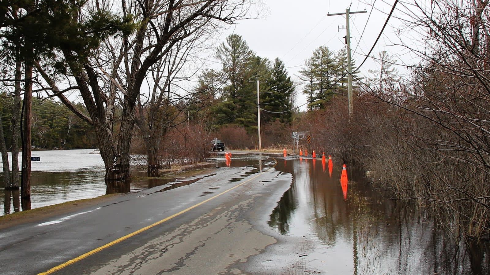
The UK is facing a wetter and warmer autumn with an increased risk of flooding, driven by an El Niño pattern in the Pacific that is forecast to be one of the strongest in living memory.
The Met Office warned that the climate phenomenon, which is expected to peak in November or December, will bring an increased chance of stormy, wet, and windy conditions. Coupled with historically high sea temperatures around the British Isles, the season is also likely to feel unusually warm.
What is the Met Office autumn weather forecast?
The forecast comes immediately after a record-breaking summer. Summer 2026 was provisionally declared the UK's hottest on record, marked by five separate heatwaves and 40 days where temperatures exceeded 30C.
But this rapid transition from extreme heat to torrential rain is raising fears of "weather whiplash" — a phenomenon where parched ground is suddenly inundated, causing severe runoff and flash flooding.
"The latest seasonal forecasts suggest an increased likelihood of wetter than average conditions as we move through autumn," said Met Office Chief Meteorologist Ian Lisk. He added that while this El Niño could be historic, its strength does not automatically guarantee more severe impacts for the UK, as other regional weather patterns also play a role.
How is weather whiplash affecting UK farms?
Any heavy rain will land on a farming sector already under intense financial strain. Three years of consecutive poor harvests since 2024 have cost British arable farmers an estimated £4.8 billion in lost revenue, according to calculations by the Energy and Climate Intelligence Unit.
This year's harvest alone is projected to cost farmers between £293 million and £390 million in losses, with yields of wheat, barley, and oats all expected to fall below their ten-year averages.
While the incoming rain may eventually help refill depleted reservoirs, the Environment Agency has warned that recovering from drought is a slow process. Helen Wakeham, the agency's director of water, noted that a true recovery is only complete when groundwater levels and river flows return to normal. Until then, the immediate danger is that heavy downpours will cause surface flooding before the water can soak into the dry ground.
What does this mean for farm insurance?
The threat of rapid swings between drought and flood is forcing a shift in how the agricultural and insurance industries view risk. Instead of dealing with dry and wet years as separate events, brokers are now warning of compound risk scenarios where both extremes strike within the same growing season and the same insurance policy period.
Debbie Airey, area managing director at the insurance broker Brown & Brown UK, said farmers are increasingly looking for ways to build long-term resilience rather than just relying on traditional insurance payouts.
"Periods of prolonged heat and drought are no longer unusual events and can affect everything from crop yields and livestock welfare to cash flow and long-term business planning," Airey said.
This domestic turbulence matches global trends. The EU's Copernicus Climate Change Service reported that August was the joint-hottest month ever recorded globally, matching July 2023 at 1.65C above pre-industrial levels.
Key numbers
- £4.8 billion
- £293 million to £390 million
- 1.65C
- 40