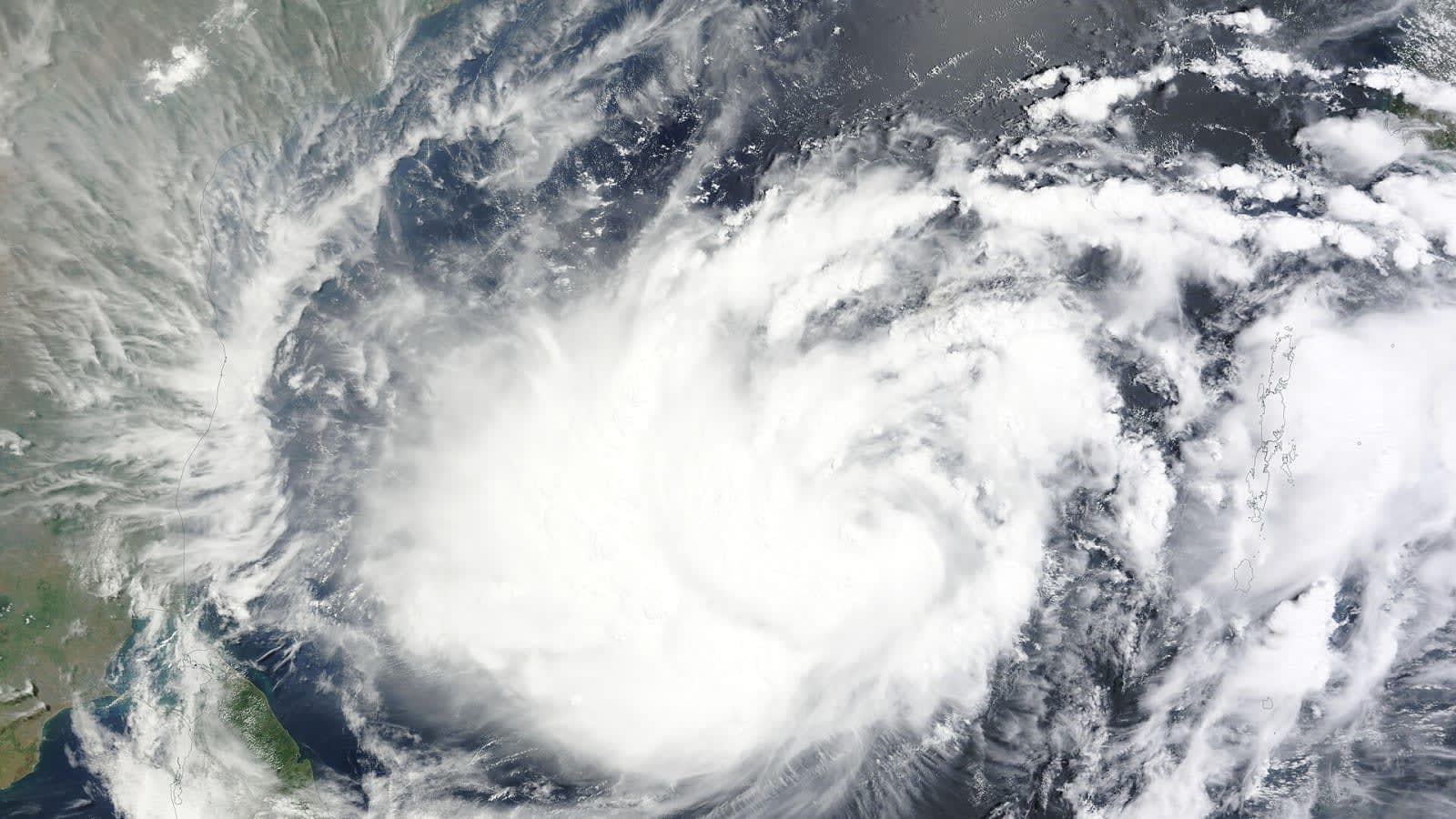
National Hurricane Center tracks potential tropical development in Gulf of Mexico
Forecasters say a broad low-pressure system could form by mid-week, with a 40 per cent chance of becoming a tropical depression as it drifts north.

The National Hurricane Center has begun tracking a new area of interest in the southwestern Gulf of Mexico, where a tropical disturbance could slowly take shape over the course of this week.
While there is no immediate threat to coastal communities, forecasters are keeping a close watch on a region where a broad area of low pressure is expected to form by mid-week. Once it does, environmental conditions could allow the system to gradually organize into a tropical depression as it drifts slowly towards the north.
According to the National Hurricane Center’s Sunday afternoon outlook, the chance of any tropical formation over the next 48 hours is near zero. However, the system's longer-term prospects have risen slightly over the weekend. Forecasters now give the disturbance a 40 per cent chance of development over the next seven days, up from the 30 per cent chance estimated on Saturday evening.
Slow development expected in the Gulf
Any organization that does occur is expected to be a highly gradual process. Atmospheric conditions in the southwestern Gulf are forecast to be only "marginally conducive" for tropical development, which should limit how quickly the system can gather strength in the near term.
"Although environmental conditions are only expected to be marginally conducive, some slow development is possible and a tropical depression could form late this week while the system drifts northward," the National Hurricane Center noted in its update.
In its initial assessments, including an update at 8 p.m. on Saturday, the hurricane center described the disturbance as a broad area of low pressure that would take several days to emerge. Forecasters expect the system to drift slowly over the warm waters of the southwestern Gulf, where any potential development will be slow to occur.
Is there any threat to land?
Current meteorological model guidance shows no immediate threat to coastal areas over the next few days. Because the low-pressure system has not yet physically formed, computer models have very little real-time data to work with, making it difficult to project exactly where the system might head late in the week or over the weekend.
For residents along the Gulf Coast, the disturbance is currently a system to monitor rather than a cause for immediate preparation. Meteorologists expect to have a much clearer picture of the system's potential track and eventual strength once the low-pressure center actually begins to take shape over the water mid-week.
Key numbers
| What | Figure | Source |
|---|---|---|
| Seven-day development chance as of Sunday | 40% | National Hurricane Center |
| Seven-day development chance as of Saturday | 30% | National Hurricane Center |
| 48-hour development chance | Near 0% | National Hurricane Center |
In this story
| Name | Role in the story |
|---|---|
| National Hurricane Center | The meteorological agency monitoring and issuing updates on the tropical disturbance. |
| Gulf of Mexico | The body of water where the low-pressure system is expected to form. |