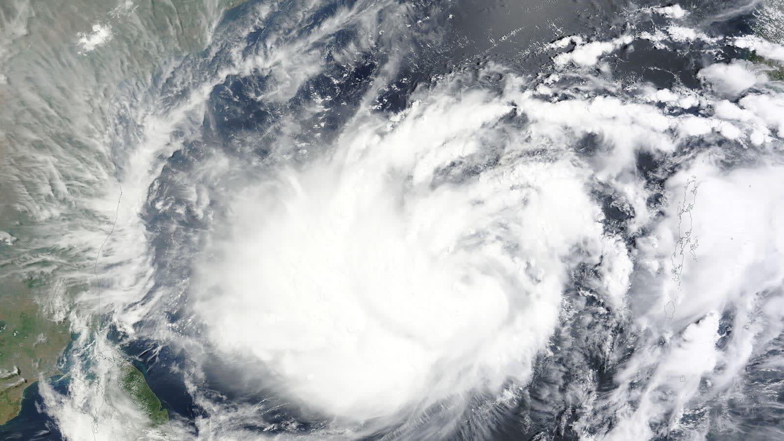
Subtropical moisture plume brings rain and thunderstorms to Alicante
AEMET and the University of Alicante warn that a subtropical moisture plume will trigger rain, occasional thunderstorms and gusty winds across the province on Tuesday and Wednesday.

What is happening now?
AEMET (Agencia Estatal de Meteorología) has issued a yellow alert for the whole province of Alicante on Tuesday, citing an "intense thunderstorm activity" that could bring "strong or locally very strong" showers and the risk of flooding in vulnerable areas. The warning follows the arrival of a subtropical moisture plume, a stream of warm, humid air that often fuels heavy precipitation over the Mediterranean.
Where the rain is falling
The University of Alicante’s Climate Laboratory says the plume is producing several rain bands that are expected to move across the province until Wednesday. So far, the AEMET observation network records the following accumulations since early Tuesday morning:
- Aspe – 7.6 L/m²
- Crevillente – 7.4 mm
- El Moralet (Alicante) – 6.8 mm
- Benimantell – 6.4 mm
Wind gusts have been strongest inland, with Agres registering a peak of 60 km/h.
Forecast details
According to AEMET’s forecast, rain will begin around 06:00 and continue through the day, with the heaviest drops expected around 12:00 and 13:00, each delivering about 0.1 L/m². The agency also notes a high probability of thunderstorms throughout the day, especially in the eastern coastal strip.
Temperatures are set to stay near seasonal norms: a high of 29‑30 °C and a low of 19‑21 °C for the night. Winds will be light, generally from the southeast in the morning and shifting to a gentle south‑west breeze by afternoon.
What the scientists say
The University of Alicante’s climatology team describes the event as “generally weak to moderate” precipitation, but cautions that mesoscale convective systems could develop over the Mediterranean, producing locally intense rain, large hail and strong gusts. Warm sea surface temperatures are feeding these systems, increasing the risk of brief but heavy downpours.
What to expect tomorrow
AEMET’s outlook for Wednesday remains unsettled. While the province will continue to see cloudy skies and occasional showers, the most severe storms are forecast for central and northern Spain, not Alicante. Residents are advised to keep an eye on local alerts and avoid low‑lying areas prone to flash flooding.
Safety tips
- Keep updated with AEMET’s real‑time alerts via their app or website.
- Avoid driving through flooded roads; even shallow water can be dangerous.
- Secure outdoor objects that could be lifted by gusts.
- Stay indoors during the strongest thunderstorms, especially if hail is reported.
The situation will be reviewed throughout the day, and AEMET may adjust the alert level if conditions worsen.
Key numbers
| What | Figure | Source |
|---|---|---|
| Yellow weather alert issued | Province of Alicante, Tuesday 6 Oct 2026 | AEMET |
| Rainfall recorded in Aspe | 7.6 L/m² | AEMET observations |
| Maximum wind gust | 60 km/h | AEMET observations (Agres) |
| Expected rainfall at midday | 0.1 L/m² at 12:00 and 13:00 | AEMET forecast |
| High temperature forecast | 29‑30 °C | AEMET forecast |
| Low temperature forecast | 19‑21 °C | AEMET forecast |
In this story
| Name | Role in the story |
|---|---|
| Agencia Estatal de Meteorología | Issued yellow weather alert and provided forecast details |
| University of Alicante | Provided climatology analysis of the moisture plume |
| Alicante province | Geographic area affected by the rain and storms |