Tropical depression off Mexico projected to become first Atlantic hurricane of 2026
A tropical depression 630 miles south of the Mississippi River mouth is set to be named Isaias and could reach Category 2 strength before hitting the US Gulf Coast.
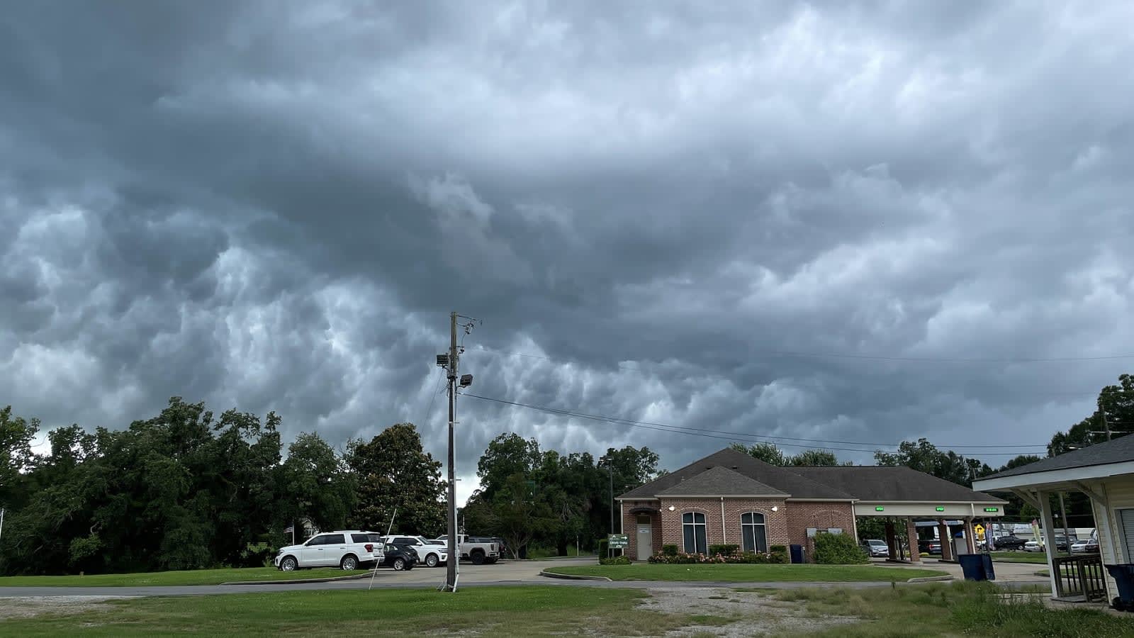
First Atlantic hurricane of 2026 forms in the Gulf
A low‑pressure system that the US National Hurricane Center (NHC) classified as a tropical depression early Tuesday afternoon is the first such system of the 2026 Atlantic season. The centre placed the centre of the disturbance roughly 630 miles (about 1 010 km) south of the Mississippi River mouth, with sustained winds of 35 mph (55 km/h). In the centre's 5 p.m. New York‑time advisory the system was slated to be upgraded to Tropical Storm Isaias by Wednesday and to reach hurricane strength the following day.
Forecast track and likely impacts
The NHC’s current model consensus pushes the storm east of the major offshore oil and gas platforms that sit south of Louisiana and Texas. While the exact path could shift, the centre warned that any deviation toward the coast would increase the risk of wind and rain impacts.
John Cangialosi, a senior hurricane specialist at the NHC, said residents from Louisiana to the Florida Panhandle should keep a close eye on updates and have their hurricane plans in place. “The system will bring areas of heavy rainfall to the central US Gulf coast Friday into the weekend,” he wrote.
If the forecast holds, the cyclone could peak with sustained winds near 100 mph (160 km/h), putting it squarely in Category 2 on the Saffir‑Simpson scale. Rainfall totals of up to six inches are expected across the Gulf states, with isolated pockets possibly seeing ten inches.
Why the season is late
Eight named storms have already formed this year, but none have intensified into a hurricane. By early October a typical Atlantic season averages about 11 named storms, five hurricanes and two major hurricanes. Meteorologists point to the current El Niño, which has boosted upper‑level wind shear across the basin and hampered storm development. “The warm waters of the Gulf will fuel the storm,” Cangialosi added, noting that the cyclone is likely to reach its peak intensity before making landfall.
What residents can do now
The NHC recommends that Gulf‑coast residents review evacuation routes, secure property, and ensure emergency kits are stocked. Local authorities are expected to issue any tropical‑storm‑force watches or warnings as the system approaches, so staying tuned to official updates is essential.
The coming days will determine whether the Atlantic basin finally sees its first hurricane of 2026, and how much of a test it will pose for a region that has been watching the skies with growing concern.
Key numbers
| What | Figure | Source |
|---|---|---|
| Location of formation | 630 miles south of the Mississippi River mouth | National Hurricane Center advisory |
| Current wind speed | 35 mph (55 km/h) | National Hurricane Center advisory |
| Projected name | Isaias | National Hurricane Center advisory |
| Expected peak wind speed | 100 mph (160 km/h) | National Hurricane Center forecast |
| Forecast category | Category 2 hurricane | National Hurricane Center forecast |
| Rainfall forecast | up to 6 inches, isolated 10 inches | National Hurricane Center forecast |
| Named storms so far this season | 8 | National Hurricane Center summary |
| Average named storms by early October | ~11 | National Hurricane Center climatology |
In this story
| Name | Role in the story |
|---|---|
| Mississippi River mouth | Reference point for storm location |
| Isaias | Forecast name for the tropical storm |
| National Hurricane Center | US agency issuing forecasts and advisories |